

Monsoon rains to drench parts of Luzon, Visayas through midweek
- Jul 21, 2025
- 2 min read
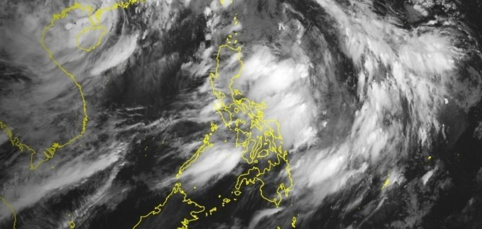
MANILA, Philippines, July 21 ------ Monsoon rains will continue over Metro Manila, much of Luzon, and parts of the Visayas through Wednesday, with state weather bureau PAGASA warning of possible floods and landslides in areas at risk. In its latest advisory, PAGASA said the southwest monsoon, or habagat, is being enhanced by Severe Tropical Storm Wipha located outside the Philippine Area of Responsibility. This weather system may dump up to 200 millimeters (about 8 inches) of rain in some areas, particularly those in elevated terrain or already soaked from previous rains.
Rainfall forecast
Monday (July 21): Up to 100 mm (4 inches) of rain is expected in Metro Manila, Pangasinan, Zambales, Bataan, Cavite, Batangas, and Occidental Mindoro.
Tuesday (July 22): Zambales, Bataan, and Occidental Mindoro may receive 100 to 200 mm (4 to 8 inches) of rain. Up to 100 mm is likely in Metro Manila, Pangasinan, Ilocos Sur, La Union, Tarlac, Pampanga, Bulacan, Cavite, Batangas, Rizal, Antique, Iloilo, Guimaras, and Negros Occidental.
Wednesday (July 23): Up to 200 mm of rain is forecast again in Zambales, Bataan, and Occidental Mindoro. Other areas, including Metro Manila, Ilocos provinces, Central Luzon, CALABARZON, MIMAROPA, Bicol and parts of Western Visayas, may receive up to 100 mm of rain.
PAGASA said rainfall totals may be higher in mountainous areas. The impact of rains may worsen in locations that have experienced continuous precipitation in previous days. Flooding and landslides are possible in affected provinces, particularly in Zambales, Bataan, Occidental Mindoro and nearby areas in Luzon. In Metro Manila, occasional rain may lead to water pooling or localized flooding in low-lying areas. Rough seas are also expected in the northern and western seaboards of Luzon, with waves reaching up to 3.7 meters (12 feet). Small boats are advised not to venture out.
What’s causing the rain
The southwest monsoon is being intensified by Severe Tropical Storm Wipha (formerly “Crising”), which was located 1,160 kilometers west of extreme northern Luzon as of early Monday. It is packing maximum sustained winds of 95 kilometers per hour near the center and gusts of up to 130 kph. A low pressure area was also spotted 1,140 km east of southeastern Luzon but has not entered the Philippine area of responsibility. Residents are urged to monitor updates from PAGASA, especially heavy rainfall warnings, which provide more detailed and immediate information compared to weather advisories.
Source: philstar.com


Comments