

AIS anomalies and jamming disrupt vessel tracking in Strait of Hormuz
- Mar 12
- 2 min read

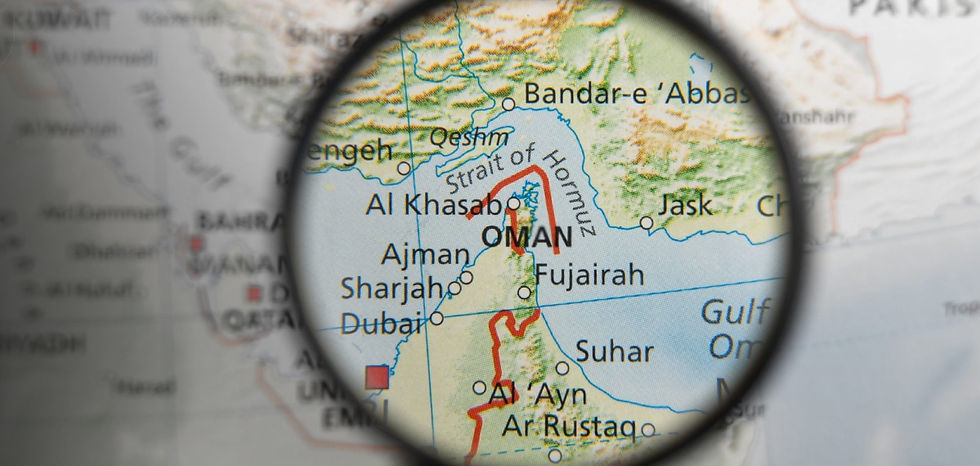
March 12 ------ Instead of normal traffic patterns, ship positions are appearing in unusual clusters across the Strait of Hormuz and surrounding waters.
These clusters form near-perfect circles of vessel icons on maritime tracking maps, with each icon representing a real ship. However, such formations do not reflect normal maritime movement and in some cases, vessels even appear to be located over land. The irregular patterns indicate widespread disruption to GPS signals, causing vessel positions to be distorted and masking their true locations.
MarineTraffic reports that unlike the more common single-point clustering typically associated with signal jamming, this interference creates the appearance of vessels moving in a straight line toward the Strait of Hormuz, despite the vessels not actually following that trajectory. Further analysis using MarineTraffic playback confirms that this movement is artificial. Vessel tracks display clear inconsistencies when compared with simultaneous vessel movements and reported headings, indicating that the apparent transit is the result of navigation interference rather than genuine vessel activity.
At the same time, additional unusual behavior has been observed in vessel AIS transmissions. According to Windward, as of 10 March, a total of 36 vessels currently transmitting AIS signals in the Gulf have modified their destination fields to broadcast nationality information instead.
The majority of these vessels are Chinese-linked ships, accounting for 30 vessels. Their AIS messages are highly standardized and typically reference both ownership and crew nationality, with examples including messages such as “CHINESE CREW OWNER,” “CHINA OWNER & CREW,” and “CHINESE VSL AND CREW.”
Other vessels broadcasting nationality messaging include five Iraqi vessels, which typically reference ownership identity with messages such as “IRAQI OWNER” or “IRAQI PORTS,” and one Turkish vessel broadcasting the message “TRIST-TURKISH CREW.” The vessels using nationality messaging are primarily commercial cargo and tanker vessels. In total, they include 22 cargo vessels—including bulk carriers, container vessels, vehicle carriers, and heavy-lift carriers—and 11 tankers, including crude oil, chemical, and LPG tankers. Their flag states are led by Panama (11 vessels), followed by Liberia (6), Hong Kong (5), and Norway (3).
In addition, the Joint Maritime Information Center (JMIC) highlights more than 600 GNSS disruption events that have been reported within the operational area based on aggregated open-source monitoring and maritime reporting. Documented impacts include:
• positional offsets
• AIS anomalies
• intermittent signal degradation
• AIS anomalies and jamming disrupt vessel tracking in Strait of Hormuz
Recommended measures:
• Cross-check GPS position with radar ranges and visual bearings.
• Validate ECDIS with secondary navigation systems.
• Increase bridge manning in constrained waters.
• Treat anomalous VHF communications cautiously and verify identity.
• Include offshore activities and port operations in all threat and risk assessments.
Source: safety4sea.com


Comments